Notice
Following a review of the Buildings at Risk Register we have paused the Register while we consider options for its future.
The website will remain accessible and searchable during this time, but it will not be updated and we’re not accepting nominations for additions to the Register. If you need to contact us about the BARR please email hmenquiries@hes.scot
Read the review report here and you can find out more about why we have paused the BARR on our news centre.
Newton House Stables, Elvanfoot
Ordnance Survey licence number AC0000807262. All rights reserved. © Copyright and database right 2025. Public Sector Viewing Terms
Useful Links
- Canmore:
- NEWTON HOUSE, STABLES
General Details and Location
Category
AT RISK
Name of Building
Newton House Stables
Other Name(s)
Address
Elvanfoot
Locality
Postcode
Planning Authority
Divisional Area
Reference No
1573
Listing Category
Unlisted
OS Grid Ref
NS 95569 17686
Location Type
Rural
HS Reference No
Description
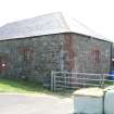
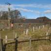
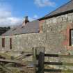
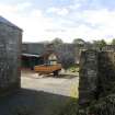
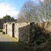
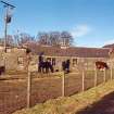
Symmetrically disposed stable block with a hipped slate roof and slightly projecting pavilions at either end that form a courtyard.
Newton House itself is now demolished. Appears on the 1st edition OS map (six inch series) notated as offices.
Newton House itself is now demolished. Appears on the 1st edition OS map (six inch series) notated as offices.
Building Dates
Earlier 19th century
Architects
Unknown
Category of Risk and Development History
Condition
Fair
Category of Risk
Low
Exemptions to State of Risk
Field Visits
March 1998, 12/03/2010, 4/6/2013
Development History
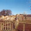
January 1992: The stables stand in a very dilapidated state and are threatened by the nearby A74 road-widening scheme. March 1998: External inspection reveals that part of the rear has collapsed, though the rest remains roofed. January 2001: Local planners report no change.
March 2010: External inspection finds parts of the building are roofless shells, while others are roofed and in use as agricultural stores. The condition of the roofed parts varies, but is generally fair.
4 June 2013: External inspection finds no significant change from the previous site visit.
Guides to Development
Conservation Area
Planning Authority Contact
PAC Telephone Number
07551839698
Availability
Current Availability
Unknown
Appointed Agents
Price
Occupancy
Part
Occupancy Type
N/A
Present/Former Uses
Name of Owners
Unverified see FAQ on ascertaining ownership
Type of Ownership
Unknown
Information Services
Additional Contacts/Information Source
Bibliography
Online Resources
Classification
Ancillary Buildings
Original Entry Date
22-JAN-92
Date of Last Edit
26/11/2013


