Ordnance Survey licence number AC0000807262. All rights reserved. © Copyright and database right 2024.
Useful Links
- Canmore:
- SOUTH RONALDSAY, BURWICK
- Historic Scotland:
- HS Reference No 45661
General Details and Location
Category
AT RISK
Name of Building
Burwick Farm
Other Name(s)
Address
South Ronaldsay
Locality
Postcode
Planning Authority
Divisional Area
Reference No
2621
Listing Category
B
OS Grid Ref
ND 43845 84198
Location Type
Rural
HS Reference No
45661
Description
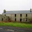
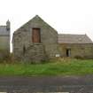
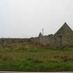
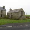
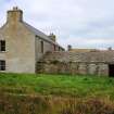
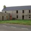
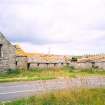
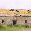
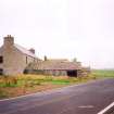
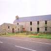
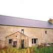
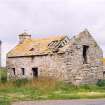
2 storey 5 bay harled asymmetrical farmhouse with a single storey lean-to projection forming an L-plan. The east elevation of the farmhouse features regular 12-pane fenestration to the centre, with doors to the centre and left. A 5 bay rubble range projects forward from the left with 3 windows and 2 doors. The west elevation to the rear is irregularly fenestrated. The south elevation features a window at each floor in the left-hand bay, surmounted by a wallhead stack. A wide U-plan court sits to the north of the farmhouse. The south arm rises to a single storey with attic and was once the grain store. A forestair sits at the east gable, whilst a central door and small windows sit to the south. The north elevation features a wide doorway to the outer right. The central ranges comprises a 3 bay byre with central boarded door and flanking windows at the east elevation. A lower byre sits to the right. The north arm comprises a single storey byre with irregular southern openings and a boarded eastern door. A further single storey byre with attic sits over the road to the east, whilst a small rubble lean-to outhouse sits to the rear of the farmhouse. The ancillary buildings and farmhouse projection retain traditional graded stone tiles. The farmhouse interior features timber architraved doorways and skirting boards, and exposed timber rafters and braces. The central byre retains its timber hay racks with flagstone stall dividers.
The elegantly proportioned farmhouse and large rubble farm buildings form an interesting example of Orkney rural vernacular architecture. Much larger in scale than a traditional steading, and arranged in an open plan rather than as a parallal dwelling house and associated byres, it represents farming on a much grander scale. (Historic Scotland)
The elegantly proportioned farmhouse and large rubble farm buildings form an interesting example of Orkney rural vernacular architecture. Much larger in scale than a traditional steading, and arranged in an open plan rather than as a parallal dwelling house and associated byres, it represents farming on a much grander scale. (Historic Scotland)
Building Dates
Mid 19th century
Architects
Unknown
Category of Risk and Development History
Condition
Very Poor
Category of Risk
High
Exemptions to State of Risk
Field Visits
August 1997, September 2000, July 2004, 11/9/2013
Development History
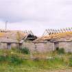
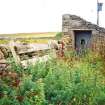
August 1997: External inspection reveals the buildings to be derelict, with unsecured openings and holed roofs. September 2000: External inspection reveals no change. July 2004: External inspection reveals further deterioration.
December 2008: Orkney Council forward recent images of the farm.
11 September 2013: External inspection finds the outbuildings to the North of the farmhouse have been re-roofed and partially secured. However, the farmhouse remains unalterted and most other buildings are derelict.
23 June 2015: Listed Building Consent for repairs and alterations to the property is being sought ref: 15/283/LB.
7 February 2024: Listed Building Consent for repairs and alterations was conditionally approved in 2015 (15/283/LB.) The property is being marketed for sale by d and h at offers over £125,000.
Guides to Development
Conservation Area
Planning Authority Contact
PAC Telephone Number
01856 873535
Availability
Current Availability
Unknown
Appointed Agents
Price
Occupancy
Vacant
Occupancy Type
N/A
Present/Former Uses
Name of Owners
Type of Ownership
Private
Information Services
Additional Contacts/Information Source
Bibliography
Online Resources
Classification
Farming
Original Entry Date
01-AUG-97
Date of Last Edit
07/01/2021


