Ordnance Survey licence number AC0000807262. All rights reserved. © Copyright and database right 2024.
Useful Links
- Canmore:
- TULLOCH CASTLE, CAISTEAL GORACH
- Historic Scotland:
- HS Reference No 24520
General Details and Location
Category
AT RISK
Name of Building
Caisteal Gorach
Other Name(s)
Castle Gorach
Address
Tulloch Hill, Dingwall
Locality
Postcode
Planning Authority
Divisional Area
Reference No
3650
Listing Category
A
OS Grid Ref
NH 54448 61131
Location Type
Rural
HS Reference No
24520
Description
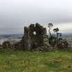
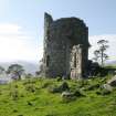
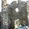
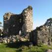
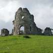
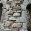
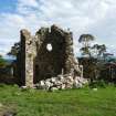
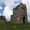
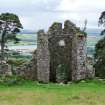
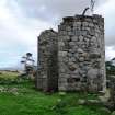
Picturesque folly; 2-storey circular "ruined" tower, void at rear, with flanking single storey quadrants linking outer square terminal blocks; all in rubble with tooled ashlar dressings. Centre round-headed entrance with round-headed narrow side windows, worn plaque, quatrefoil vent and 2 cruciform mock arrow slits above. 3 similar narrow round-headed lights in flanking wings. Irregular wallhead.
Designed as a "ruinous castle" on a hilltop overlooking Tulloch Castle for Duncan Davidson of Tulloch. ( Historic Scotland)
Designed as a "ruinous castle" on a hilltop overlooking Tulloch Castle for Duncan Davidson of Tulloch. ( Historic Scotland)
Building Dates
1789-90
Architects
Robert Adam
Category of Risk and Development History
Condition
Very Poor
Category of Risk
Moderate
Exemptions to State of Risk
Field Visits
04/09/2008, 18/6/2012, 1/10/2013, 29/11/2018
Development History
September 2008: External inspection finds that the folly, although designed as a picturesque ruin, in poor condition; there is some erosion of pointing which could lead to masonry loss and sapling growth is evident on wallheads. There is evidence that previous foliage growth has been cut back and continual maintenance would be required for the long term survival of the structure in its exposed site.
October 2008: Local planners report that previous discussions had taken place with the then owner to promote a scheme for consolidation of the folly.
18 June 2012: External inspection finds that since the previous site visit there has been a partial collapse of the rear, south section of the building. The owner reports that this occurred in the Spring of 2012. The front elevation is suffering from serious erosions and loss of pointing.
1 October 2013: Inspection finds the area of collapsed stone may have extended slightly, but otherwise it remains in much the same condition as seen previously.
29 November 2018: Inspection finds the monument in much the same condition as seen previously - loss of some stonework with the potential loss of further.
23 February 2024: Desk-based assessment suggests the building remains At-Risk.
Availability
Current Availability
Unknown
Appointed Agents
Price
Occupancy
Vacant
Occupancy Type
N/A
Present/Former Uses
Name of Owners
Unverified see FAQ on ascertaining ownership
Type of Ownership
Private
Information Services
Additional Contacts/Information Source
Access via private Drynie Farm, Dochcarty Brae. South West of folly.
Bibliography
Ian R Mowat, EASTER ROSS 1750-1850, THE DOUBLE FRONTIER (1981) p90.
Online Resources
Highland Council Historic Environment Record
http://her.highland.gov.uk/SingleResult.aspx?uid=MHG7465
Classification
Ancillary Buildings
Original Entry Date
26-SEP-08
Date of Last Edit
13/12/2018


